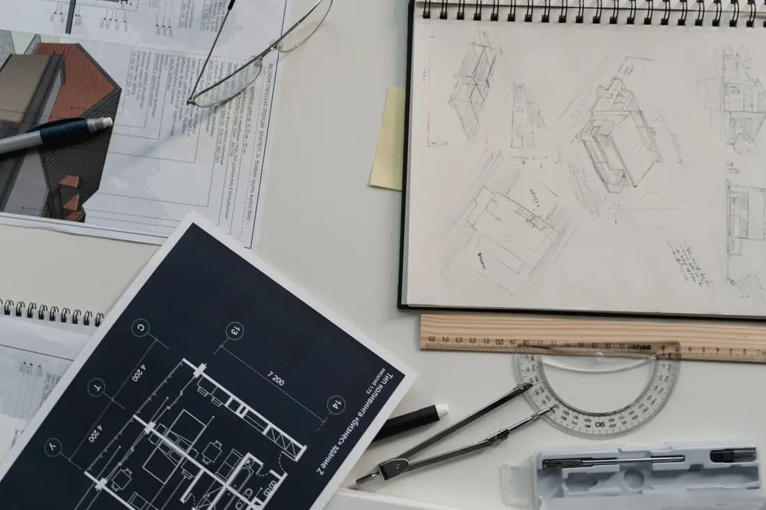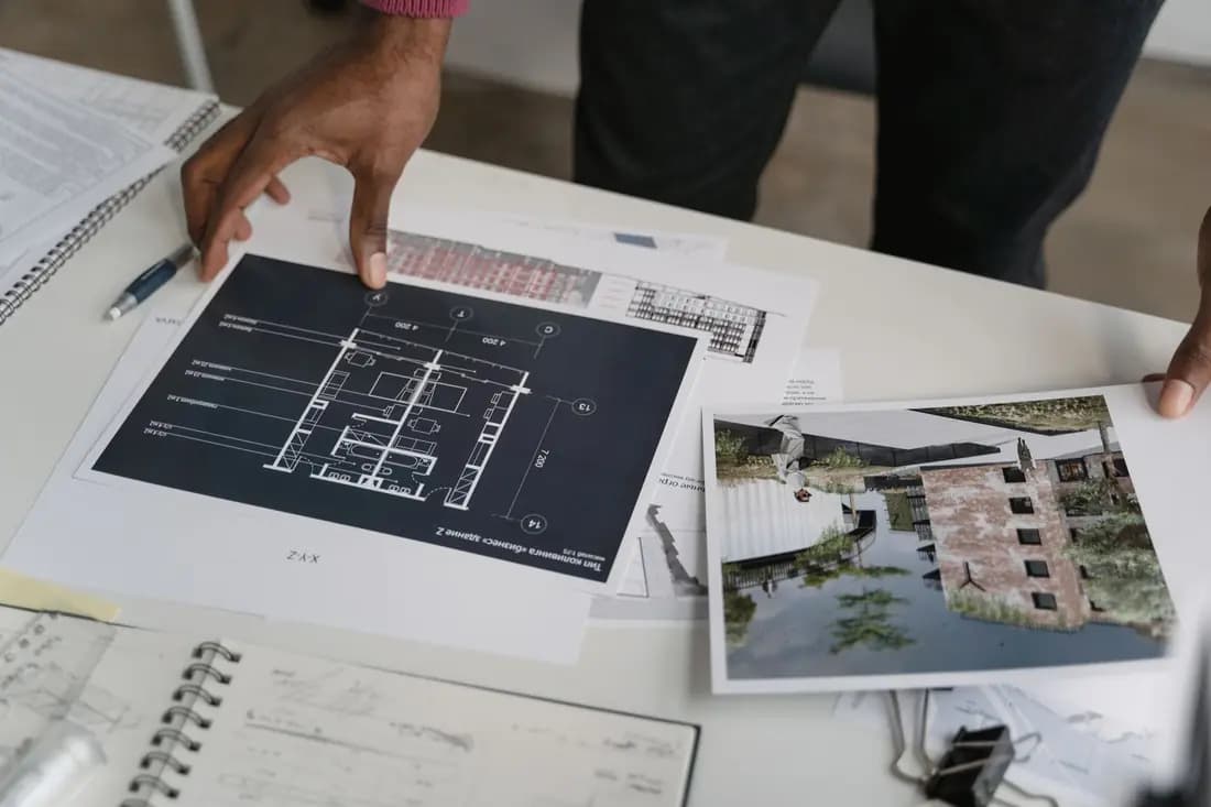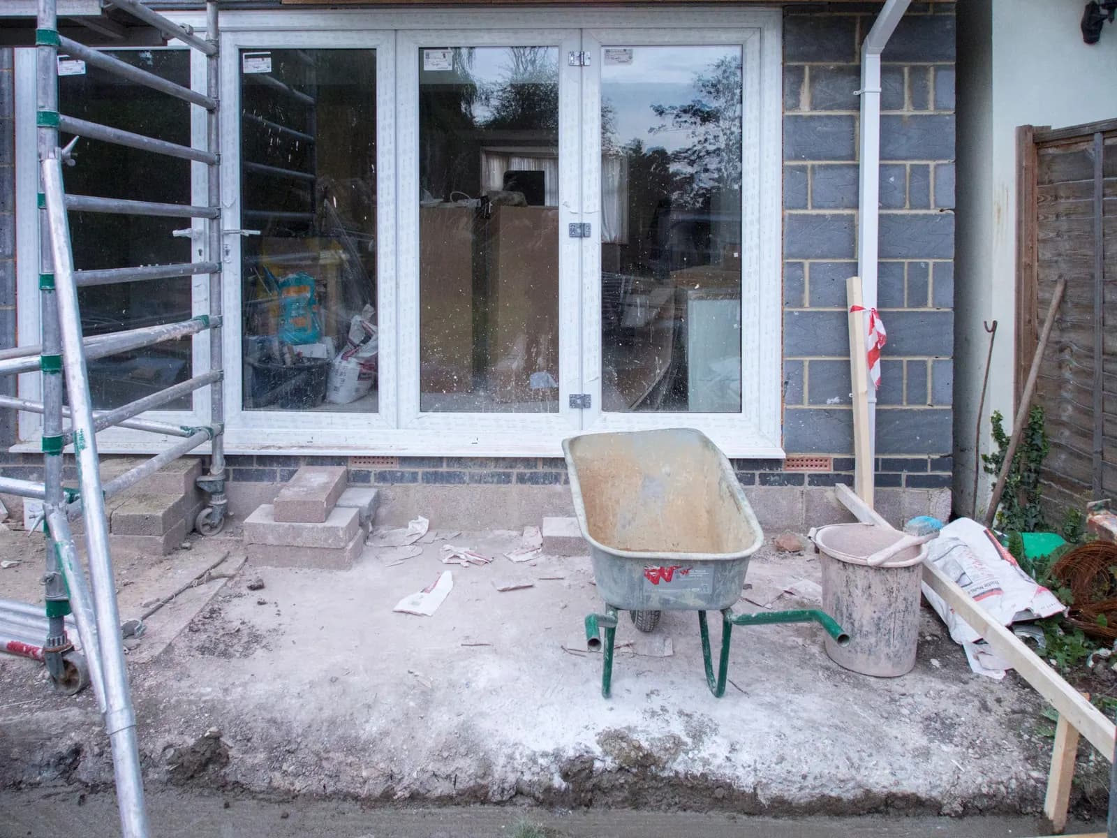
Extension plans for a house in Bourne End, Buckinghamshire cost £645 drawings + £250 survey (£895 total) with us, fixed. That covers the measured survey, the existing and proposed drawings, the forms, submission to Buckinghamshire Council and our replies to the case officer. The council's householder application fee of £548 is paid on top. In Bourne End the price does not change with the river, but the paperwork can: a house on the floodplain needs a flood risk assessment, and a house in the riverside conservation area needs a heritage statement. This page sets out how to tell which applies to yours.
On this page
- Which rules decide an extension in Bourne End?
- What does the floodplain mean for my extension?
- Is my house in the Riversdale and Hedsor Road conservation area?
- What changes around Hawks Hill and Harvest Hill?
- How big can a Bourne End extension be?
- How long does it take, and what is the total?
- Frequently asked questions
Which rules decide an extension in Bourne End?
Bourne End was in Wycombe District until 2020, and Buckinghamshire Council still decides applications here against the Wycombe District Local Plan, adopted in August 2019 (Local Plan), and Wycombe's Householder Planning and Design Guidance of January 2020 (householder guidance).
On top of those sits the Wooburn and Bourne End Neighbourhood Plan, covering the whole parish (neighbourhood plan). Most of its policies are about new homes and green spaces, but two touch house extensions directly: its conservation area policy, and its policy for the Hawks Hill and Harvest Hill area.
The Local Plan describes Bourne End as lying at the south east end of the Wye valley where the river joins the Thames, surrounded by Green Belt but not by the Chilterns National Landscape (paragraph 5.4.1). Most houses in the village itself are in the built-up area. The ones to watch are on the edges, where the Green Belt line runs close behind the gardens.
What does the floodplain mean for my extension?
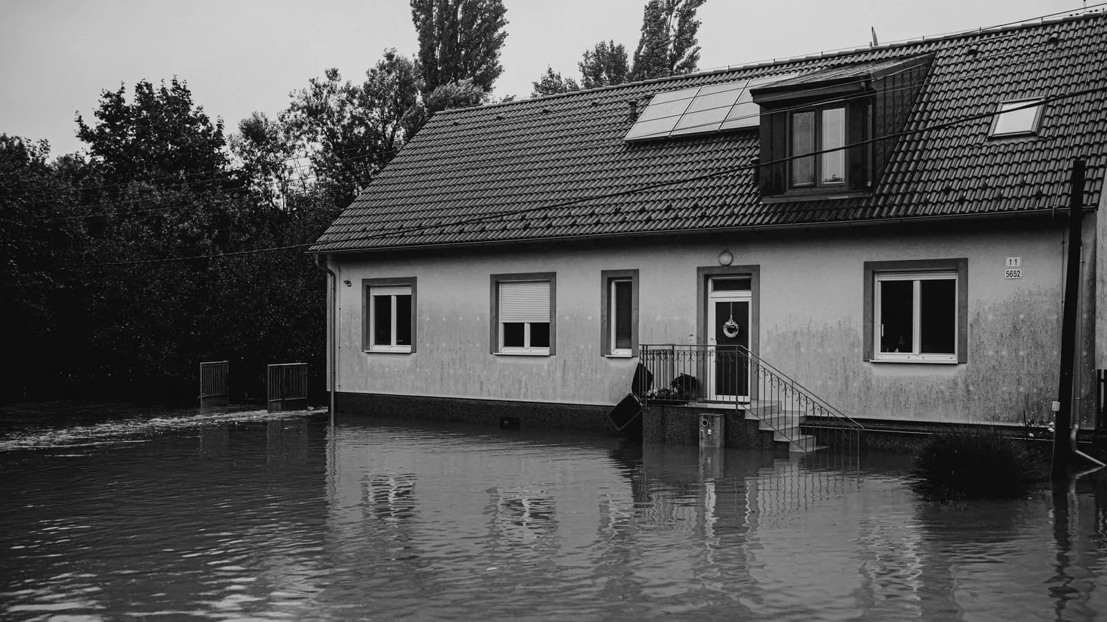
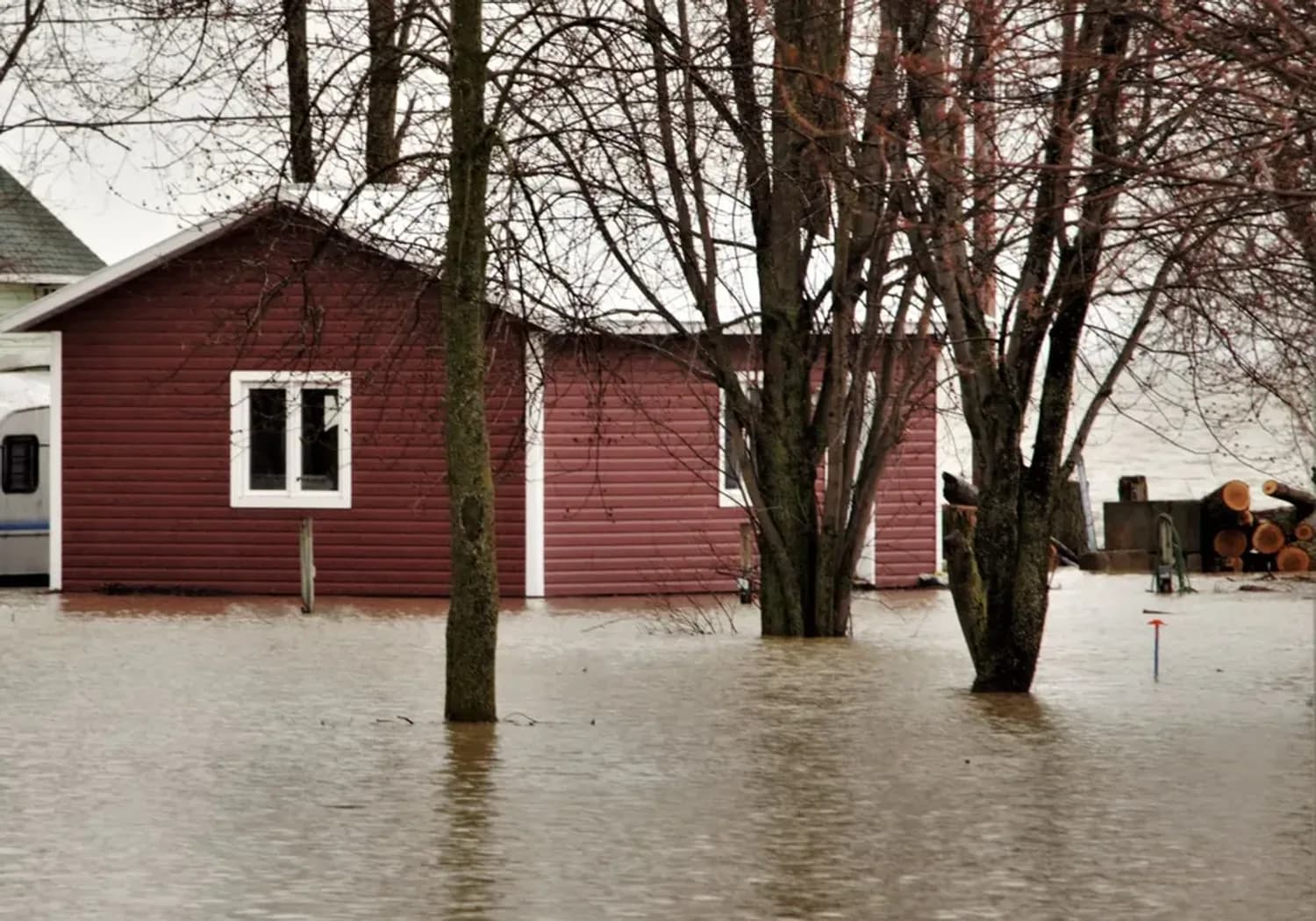
This is the question that sets Bourne End apart from most villages in the old Wycombe district. The Local Plan says the Thames is an attraction "but also raises concerns about flood risk, as does the River Wye" (paragraph 5.4.1), and its principles for the village include protecting the area from flooding from both rivers. The neighbourhood plan repeats the Local Plan's flood policy, DM39, which asks for a site-specific flood risk assessment for any development in an area at risk of flooding.
In practice that means:
- Check the flood zone first. We look up the address on the Environment Agency's flood map before anything is designed. The riverside streets are the obvious candidates, but the zone is set by the map, not by how close the river looks.
- Measure the floor levels. If the house is in Flood Zone 2 or 3, the survey records the existing ground floor level so the new floor can be set at or above it, and the drawings show both.
- Send the assessment with the application. For a householder extension the assessment is short and follows the Environment Agency's standing advice. We prepare one as a flood risk assessment for from £375. Leaving it out is one of the commonest reasons an application near the river is held up at validation.
Is my house in the Riversdale and Hedsor Road conservation area?
Bourne End has one conservation area of its own. Riversdale and Hedsor Road was first designated by Wycombe District Council in 1986 and extended in 1991; its appraisal was adopted in February 2018 (appraisal). It covers about 45.5 hectares along the east bank of the Thames from the railway bridge towards Cookham Bridge, in three parts:
- Upper Bourne End (Area A): a ribbon of artisan cottages and houses along the upper part of Hedsor Road.
- Abney (Area B): the Victorian streets that grew up south of the village centre after the station opened in 1854.
- Riversdale (Area C): large late Victorian and Edwardian houses facing the curve of the river, on the Riversdale estate off Ferry Lane.
The appraisal notes that the whole conservation area lies on the Thames floodplain. So a house in Riversdale usually needs both a heritage statement and a flood risk assessment.
Its development guidance is specific. Sides and backs of buildings that the public can see "must be of equally good design and materials" as the front. It asks owners to keep original timber sashes and casements rather than fit uPVC, and to avoid concrete or artificial slate on roofs. All trees in the area are protected, and the appraisal notes that consent is needed to fell, lop or top them, so a tree near the extension is shown on the plans. We write the heritage statement for from £565.
The neighbourhood plan names five more conservation areas in the parish (Berghers Hill, Clapton Mill, Watery Lane, Wooburn Green and Wooburn Town) and asks proposals in each to follow its own appraisal (Policy WBE/PD3). They are mostly in the Wooburns rather than Bourne End.

What changes around Hawks Hill and Harvest Hill?
The neighbourhood plan defines a Hawks Hill/Harvest Hill Character Area in Upper Bourne End, on the slopes east of the village, and asks development there to respect its semi-rural character (Policy WBE/HH1). That protection came from the Local Plan's own design policy, DM32, which the inspector amended to name the area. The policy looks for designs that respond to the area's trees, hedgerows and banks, and it will not support infill or plot splits that bring an urban layout.
A side or rear extension can still be approved there. What tends to go wrong is a design that clears the frontage hedge, adds a wide new drive or fills the gap between two houses. We show the existing trees and hedges on the survey and keep them in the proposal.
How big can a Bourne End extension be?
Most Bourne End houses are semis or detached. The 2021 Census counted 1,630 of the 4,906 households in The Wooburns, Bourne End and Hedsor ward in a semi-detached house and 1,308 in a detached one (ONS Census 2021, TS044). For those houses the Wycombe guidance sets the tests:
- Side extensions should be set back from the front wall and sit below the main ridge. A two-storey or first-floor extension needs a gap of at least 1 metre to the boundary at first floor, and more on a spacious plot (paragraph 9.5).
- Light to the neighbours is checked with a line from the midpoint of their nearest habitable room window, at 60 degrees for a single-storey rear extension and 45 degrees for a two-storey one (paragraph 14.4).
- First-floor side windows that would overlook a garden must be obscure glazed and fixed below 1.7 metres above the floor, or high-level with a cill at 1.7 metres (paragraphs 16.4 and 16.5).
A house beyond the built-up edge is in the Green Belt. There the Local Plan's Policy DM43 measures extensions by volume against the original house, not floorspace, and national policy allows an extension only where it is not disproportionate to the original building (NPPF chapter 13, GB7(1)(b)). Our Flackwell Heath post sets out the DM43 volume bands.
How long does it take, and what is the total?
In the year to 30 June 2026, Buckinghamshire decided 842 of the 1,361 householder applications it handled without an agreed extension of time within eight weeks (MHCLG live table PS2).
- Our planning drawings and submission: £645 drawings + £250 survey (£895 total).
- Buckinghamshire Council's householder fee: £548.
- A flood risk assessment in Flood Zone 2 or 3: from £375.
- A heritage statement in the conservation area: from £565.
- After approval, building regulations and structural drawings: our package is from £1,245 drawings + £250 survey (£1,495 total) for one extension.
The Buckinghamshire Council page sets out the validation rules and the Buckinghamshire page covers the county. Upstream, flood and loft rules for the town are in our Marlow loft post. More on our house extension service.
Work out your fee
FFP-01 · Rev AHouseholder application fee, paid to your council at submission.
Prices include one measured survey of a house of up to two storeys (£250). A flat or maisonette is £50 less; a house of three storeys or more is £50 more. One survey covers every service on the same job.
Plus the Planning Portal's own charge if the application goes through the Portal: up to £149 including VAT, depending on the application type, and some types have none (source).
Get this fee in writingor email hello@fixedfeeplans.co.uk
No obligation. Nothing is sent until you ask; your enquiry comes to us and nowhere else.
Frequently asked questions
Does every Bourne End extension need a flood risk assessment? No. Only a house in Flood Zone 2 or 3 does. We check the Environment Agency map for your address before quoting, and say if one is needed.
Is Riversdale in a conservation area? Yes. The Riversdale estate is Area C of the Riversdale and Hedsor Road conservation area, together with Upper Hedsor Road and the Abney streets near the station.
Does the neighbourhood plan stop extensions? No. It asks extensions in the conservation areas to respect their character and protects the semi-rural feel of the Hawks Hill and Harvest Hill area. Ordinary extensions elsewhere are judged on the Wycombe guidance.
Which council decides applications in Bourne End? Buckinghamshire Council, using the Wycombe District Local Plan and Wycombe's householder guidance.
If the application goes through the Planning Portal, the Portal adds its own service charge: nothing, £99 or £149 including VAT, depending on the application type and complexity, paid to the Portal at submission and not normally refunded with a council fee (Ashford Borough Council, Planning Portal service charges, 11 September 2026). It is not ours and not the council's. Other submission routes exist; where your council accepts one without a charge, we can use it.