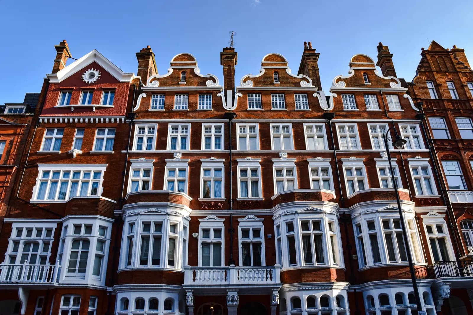
A planning constraints report costs from £19 at Fixed Fee Plans, and the fee is credited against our drawing service if you go ahead. We check one address for the designations that decide what you can build, and tell you in plain words what each one means.
The question it answers is the one people ask last. Before you pay for drawings, a survey or an application, is there something on this address that changes the answer: a conservation area, a listing, a direction that removes your rights, a flood zone, a protected tree? Finding out on day one costs a few pounds. Finding out at validation costs a month.
Which designations can affect my project?
Six, mostly. A conservation area under section 69 of the Planning (Listed Buildings and Conservation Areas) Act 1990. A listed building under section 1. An Article 4 direction under the General Permitted Development Order. A flood zone. A tree preservation order or conservation area tree. And a few local ones: a locally listed building, a conservation area appraisal with its own rules, a green belt or a view corridor.
Each changes the route. Conservation areas are article 2(3) land, and the Order's permitted development limits are tighter there. An Article 4 direction can switch off permitted development in all or part of a council's area. Our feasibility study tests what is possible once we know what applies, and the permitted development checker runs the first test free.
How reliable is the national data?
Useful, and not enough on its own. The government's planning data service publishes datasets for conservation areas, listed buildings and more, and its own pages warn that the data may be incomplete and not yet cover all of England. A conservation area missing from the dataset is still a conservation area in law, and the consequences are the same.
That is why we cross-check against the council's website, and say in the report where each result came from and the date. It is also why the report says "not shown in the national data, confirmed against the council's map" rather than a bare yes or no. If the council's records are unclear, we tell you what to ask the planning team, and whether it is worth the question.
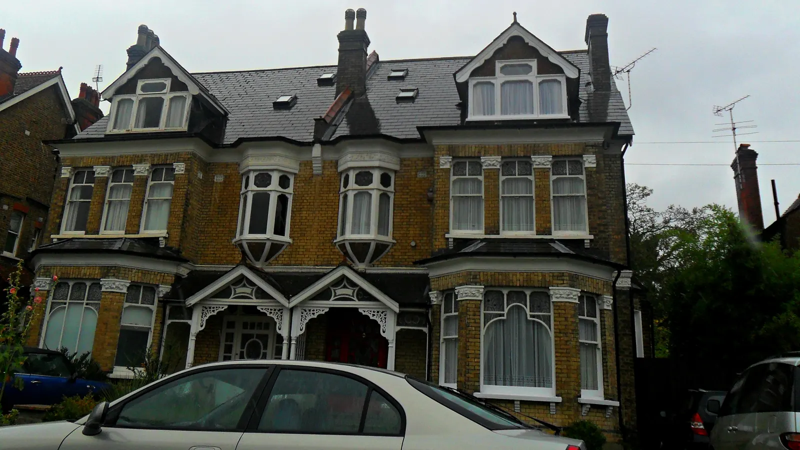
What does each result mean for the plans?
It depends, and the report spells it out. A conservation area does not forbid an extension; it raises the standard of design and the likelihood of a heritage statement, and our heritage statement service writes one. A listed building needs listed building consent for works affecting its special interest, inside as well as out. A flood zone brings a flood risk assessment, and a protected tree a tree survey.
For each designation the report gives the legal basis, the effect on permitted development and the next step, with a link to the source. A clear result is a result too: "none of the six applies" is useful to a buyer. It is not a guarantee that the council has no other policies of its own, and the report says so.
What does it cost?
Our fee is from £19, and it is a floor: a large site, several addresses or a request for a heritage assessment alongside it is quoted in writing. The fee is credited against our drawing service if you go ahead, and the full pre-purchase planning report adds planning history and options if you are about to buy.
Frequently asked questions
How do I check whether my house is in a conservation area?
Search your council's website for its conservation area map, or ask us. The national dataset can be incomplete, so we check both and tell you where each answer came from.
What is an Article 4 direction?
A direction made by a council, or the Secretary of State, that removes permitted development rights in all or part of an area, so work that normally needs no application needs one. It can cover a single street.
Is the report credited if I go ahead?
Yes. The fee is credited against our drawing service if you proceed with us.
Does a clear report mean I can build anything?
No. It means none of the six main designations applies. The council's own policies, a condition on an earlier permission or a neighbour's rights may still matter, and the report says what it does not cover.