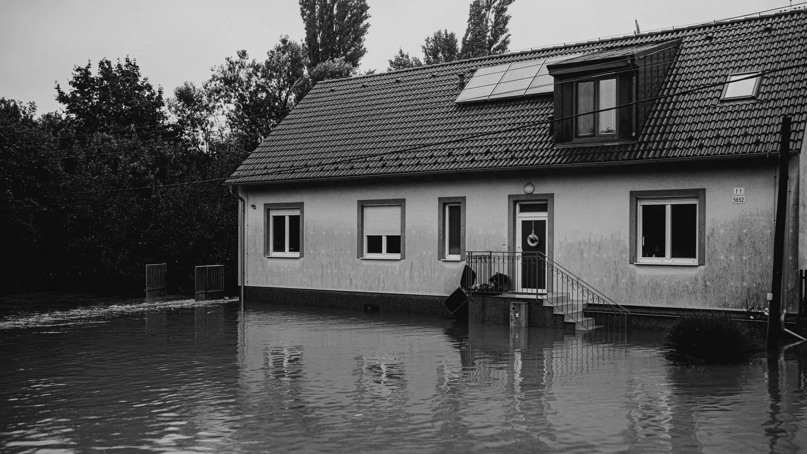
A flood risk assessment asks whether water will get into your development: from the Thames or a river, from surface water after a storm, from rising groundwater or from a sewer that backs up, and how the building is made safe. A drainage strategy asks where your development's own water goes: the foul water from toilets, showers and kitchens, and the rainwater from new roofs and paving, and how fast it leaves the site. One is about water coming in, the other about water going out. In London the first answers London Plan Policy SI 12, the second Policy SI 13.
On this page
A householder extension in Flood Zone 1 usually needs neither. New homes in a flood zone often need both, and our drainage strategy reports are from £570.
What does a flood risk assessment cover?
The risk to the site and the people in it. The August 2026 NPPF says a site-specific assessment should accompany all development in Flood Zones 2, 3a and 3b, and some Flood Zone 1 sites (NPPF, policy F4). It identifies every source of flooding, sets floor levels, explains safe access and escape where needed, and allows for climate change, which the government guidance says the design flood and residual risk estimates must include (GOV.UK).
London Plan Policy SI 12 sets the London test: development should minimise and mitigate flood risk and address the residual risk (London Plan 2021). For a riverside site that residual risk is usually a breach of the Thames defences, which is why riverside boroughs map breach hazard. For an extension, the Environment Agency's standing advice sets a short method; our post on whether an extension needs one covers that.
What does a drainage strategy cover?
The water the development produces. It measures the roofs and hard surfaces before and after, works out how much rain they send off the site, and shows where it goes. It also shows the foul water route: Building Regulations Part H puts a public sewer first for foul water, so for a London site the question is usually where the new homes connect, not whether.
The surface water half follows London Plan Policy SI 13. Development should aim for greenfield run-off rates, meaning the run-off from the site in its undeveloped natural state, manage water as close to where it falls as possible, and prefer green features over grey ones in this order:
- Use rainwater as a resource, such as harvesting it or a blue roof for irrigation.
- Let it soak into the ground at or near where it falls.
- Hold it in green features, such as green roofs and rain gardens, and release it slowly.
- Discharge it straight to a watercourse, where that is appropriate.
- Controlled discharge to a surface water sewer or drain.
- Controlled discharge to a combined sewer, last.
Much of inner London drains to combined sewers, so the strategy's job is to show how far up that list the site can get, and to record why each higher step is ruled out. The London Plan itself accepts that many sites will use more than one step, managing part of the water sustainably and the rest lower down (London Plan 2021, paragraph 9.13.3).

Who asks for which?
Different people, for different reasons. The flood risk assessment is triggered by the site: its flood zone, or a local flood map. The drainage strategy is triggered by the scheme: how much it adds and whether it creates new homes.
In London the borough is both the planning authority and the Lead Local Flood Authority, responsible for local surface water flood risk (London Plan 2021, paragraph 9.12.1). National guidance says that for major development with surface water drainage the planning authority must consult the Lead Local Flood Authority (planning practice guidance, 7-056). For smaller schemes the council decides through its own list.
Lambeth's validation list shows the split clearly. It asks for a flood risk assessment (item 34) for all development in Flood Zones 2 and 3 and for set Flood Zone 1 cases, and, separately, for a sustainable drainage strategy (item 73) with all major built development and all new developments in areas at risk of flooding, designed to the drainage hierarchy and achieving a greenfield run-off rate (Lambeth Local Information Requirements 2024). Two numbered items, two documents, two triggers.
Can one document do both?
Yes, often. The government's own guidance says the sustainable drainage strategy can be a separate document or part of the flood risk assessment, and that it is needed where the development could affect drainage on or around the site, or where the site is in Flood Zone 2 or 3 or at risk of surface water flooding (GOV.UK). For a pair of new houses in a flood zone, one combined document with two clear sections is usually what an officer finds easiest to check.
For a larger scheme they tend to be separate, because the drainage strategy grows into calculations and drawings an engineer must sign. Our drainage strategy report is a desk strategy; where a site needs a sized soakaway or an attenuation tank designed, we say so and that engineering design is quoted separately.
Which one does my project need?
A rough guide, before your council's list has the final word:
- A rear extension in Flood Zone 1, no local flag: usually neither. Kensington and Chelsea is an exception worth knowing: its 2024 plan asks householder applications to reduce run-off in proportion to their scale, so a short SuDS statement may be asked for.
- An extension in Flood Zone 2 or 3: a householder flood risk assessment to the standing advice, which itself asks the plans to show surface water and groundwater kept out.
- A new house in the garden, or flats replacing a house: a drainage strategy is commonly asked for, plus a flood risk assessment if the site is in a flood zone or locally flagged, and possibly a sequential test.
- A new or extended basement: a basement flood risk assessment, and usually an engineer's basement impact assessment as well.
The NPPF keeps it proportionate: proposals that could affect drainage should include sustainable drainage in ways that are proportionate to their nature and scale (NPPF, policy F8). A two-flat conversion is not asked for what a 200-home scheme is asked for. The planning reports hub lists the other documents London councils request, and the cost of a householder flood risk assessment is set out separately.
Frequently asked questions
Is a SuDS statement the same as a drainage strategy? Not quite. A SuDS statement is the short version for an extension or a single home, covering rainwater from new roofs and paving. A drainage strategy covers foul and surface water for new homes and larger schemes.
Does a drainage strategy design the soakaway? No. It says whether infiltration is likely to work and where. Sizing a soakaway needs ground testing and an engineer's design, which is separate.
Who checks the drainage strategy? The council, as planning authority and, in London, as Lead Local Flood Authority. On major schemes the planning team must consult its flood team.
Can the council ask for drainage details after permission? Yes. Councils often attach a condition requiring drainage details before work starts, which then has to be discharged.