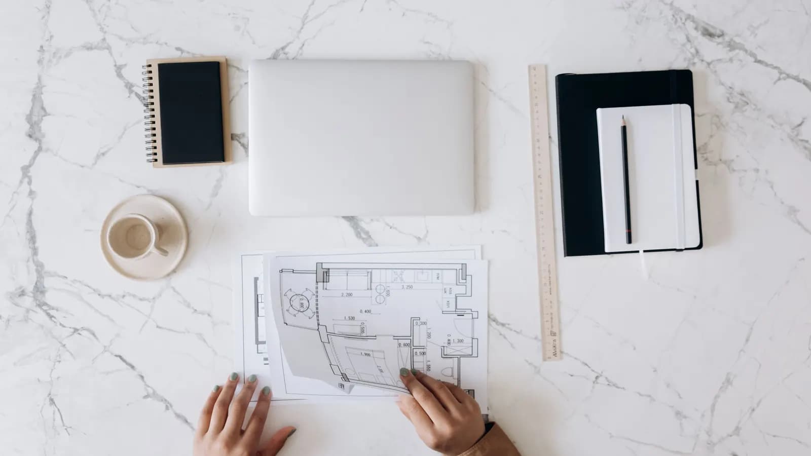
Usually not. An estate agent's floor plan is drawn to sell a house, so it is rarely to a stated scale, has no north point, leaves out wall thicknesses and is normally marked "approximate" or "not to scale". National guidance says every plan in a planning application must be drawn to an identified scale and show north (MHCLG, Making an application), and London councils ask for existing floor plans at 1:50 or 1:100. A plan that disclaims its own accuracy cannot meet that.
On this page
- What is wrong with an estate agent's floor plan?
- What does a London council actually ask for?
- Why does it matter more for some applications?
- When is an estate agent's plan good enough?
- Can the drawing team trace over the agent's plan?
- What does it cost to replace it with a proper survey?
- Frequently asked questions
That does not make the agent's plan useless. It is a good picture of the layout, and it is the fastest way to tell us what you have before we measure it.
What is wrong with an estate agent's floor plan?
Nothing, for its own job. It shows a buyer how rooms connect and roughly how big they are. The trouble is everything a planning officer, a neighbour or a builder needs and it does not record:
- No stated scale. Agent plans are sized to fit a brochure page. Printed or zoomed, they become a different size every time.
- No north point. National guidance says plans must show the direction of north. Officers use it to judge light to neighbours.
- Walls drawn as single thick lines. Real walls vary: a Victorian party wall is often thicker than a modern stud partition. A rear extension's depth is measured from the rear wall, so its thickness matters.
- No heights. No ceiling heights, no floor levels, no roof. Elevations and sections cannot be drawn from a plan at all.
- Rooms rounded off. Sizes are often given to the nearest 10cm, or in feet and inches, and alcoves and chimney breasts are tidied away.
- The disclaimer. "For illustrative purposes only" or "not to scale" is printed on most of them, and that line tells the council the drawing cannot be relied on.
What does a London council actually ask for?
Two layers of rules apply. The first is national: "any plans or drawings must be drawn to an identified scale, and in the case of plans, must show the direction of north" (MHCLG, paragraph 023). The location plan is usually at 1:1250 or 1:2500 and should fit on A4 or A3.
The second is the council's own requirements. For example, Waltham Forest's guidance for certificate applications asks for "Existing and Proposed Floor Plans including roof plan (at a 1:50 or 1:100 scale)" and existing and proposed elevations at the same scales where the outside changes (Waltham Forest). Other London boroughs publish similar lists. Each one assumes the existing drawings are a true record of the house as it stands, because the proposed drawings are compared against them.
If a drawing fails these checks, the council does not refuse the application. It declares it invalid and asks for new drawings, and the decision clock does not start until it has them. That is usually a wasted two or three weeks.
Why does it matter more for some applications?
Because the margin for error changes with the type of application.
A certificate of lawfulness for permitted development turns on limits measured in millimetres: a rear extension's depth, a dormer's volume, an eaves height. The guidance says the applicant's evidence must be "sufficiently precise and unambiguous" to justify a certificate (MHCLG, Lawful development certificates). An agent's plan with rounded room sizes cannot prove a depth of 3m and not 3.1m.
A householder application for a rear or side extension is judged against neighbours. Many London design guides test it with a 45-degree line drawn from the nearest window next door, and by how far the extension projects past the neighbour's rear wall. A plan that is 200mm out moves that line.
A loft conversion needs heights the agent never recorded: the ridge, the eaves, the head height over the stair. None of that is on a floor plan of any kind.
Building regulations drawings come after planning and need wall build-ups, beam spans and stair geometry. Building control checks them against the construction drawings, not against a sales brochure.

When is an estate agent's plan good enough?
There are a few honest uses:
- Talking through ideas. Sketching an extension on an agent's plan is a quick way to see whether it makes sense before paying for anything.
- Briefing the drawing team. Sending it with your enquiry tells us the number of rooms and storeys, which lets us confirm the survey scope and time on site.
- Checking the survey. We compare our survey against it. Where they differ, we usually find an alcove or a later partition.
- A selective licence or HMO licence. Some councils accept a simple floor plan for a licence. Each scheme sets its own rules, covered in our selective licence floor plans post.
What it should not be is the base of drawings you submit. If a proposed extension is drawn onto a plan that is wrong, the drawing the council approves will not fit the site, and the builder finds out with the footings dug.
Can the drawing team trace over the agent's plan?
We could, but we would be putting our scale bar on someone else's guess. Redrawing an inaccurate plan neatly makes it look reliable when it is not. That is worse than an obviously rough sketch, because nobody questions it.
The same applies to old plans from a previous owner or an earlier application. They can be a good start, and converting old plans to CAD is sometimes all that is needed. But they may show the house before a loft or a rear extension was added, and we check them on site before relying on them.
What does it cost to replace it with a proper survey?
A laser measured survey of the whole property is £150 and is usually done within five working days. From it we draw existing plans, elevations and sections to a stated scale with a north point and a scale bar. Existing drawings on their own cost £395, with the survey charged separately (see what existing drawings cost).
If you are applying for planning anyway, the complete planning drawing service at £645 drawings + £150 survey (£795 total) already includes the survey once, so you do not pay for it twice. The measured survey service page sets out what the visit records.
Frequently asked questions
Will the council definitely reject an estate agent's floor plan? National guidance and the local lists require a stated scale and north, and most agent plans have neither. We know of no London council list that accepts a plan marked "not to scale". Some officers may let a very simple application through, but you take the risk of an invalid notice and a delay.
Can I measure the house myself instead? You can, and careful owner measurements are better than an agent's plan for a simple single-storey extension. They rarely capture heights, wall thicknesses or levels well enough for elevations and sections. Our post on drawings without a site visit explains when that works.
Is a plan from the Land Registry or the council's old files any better? A title plan shows boundaries on an Ordnance Survey map, not the inside of the house. Old council files can help, but they show the house as it was then. Both are useful evidence, and neither replaces a survey of the building today.
My buyer's survey has a floor plan. Can I use that? A homebuyer's report is about condition, and any plan in it is usually a sketch. Check whether it states a scale. If it does not, treat it like an agent's plan.