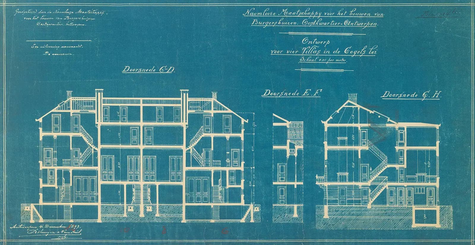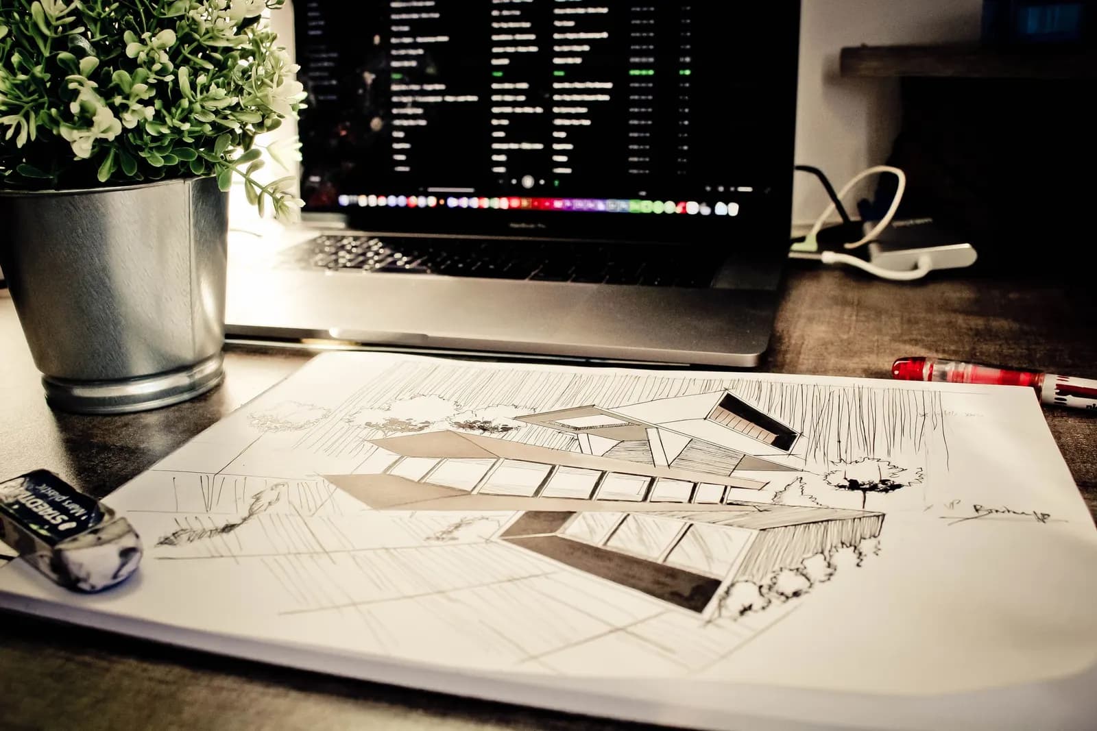
Existing plans are a measured record of your building as it stands today. Proposed plans are the same drawings with your change drawn on them. A London council needs both because it decides an application by comparing them: what is there now, what will be there after, and what difference that makes to the street and the neighbours. That is why they must be drawn from one survey, at one scale, on one base.
On this page
What is the difference, in one sentence each?
Existing plans show the house as built, including earlier extensions, walls you plan to remove and windows you plan to change. They are evidence.
Proposed plans show the house as it will be if permission is granted. They are what the council approves, and what the builder must follow.
Everything else about the two sets is the same: the same sheets, the same scale, the same north point, the same viewpoint. If the existing rear elevation is drawn at 1:100, so is the proposed one, so an officer can lay one over the other.
What must each sheet show?
National guidance sets the floor: "any plans or drawings must be drawn to an identified scale, and in the case of plans, must show the direction of north" (MHCLG, Making an application). The council's own local validation list then names the sheets. Waltham Forest, for example, asks for existing and proposed floor plans including the roof plan, and existing and proposed elevations, at 1:50 or 1:100 (Waltham Forest). Most London lists read much the same.
A typical householder set has these pairs:
- Floor plans, existing and proposed: every floor the work touches, with walls, doors, windows, stairs and room names.
- Roof plan, existing and proposed: ridges, hips, valleys, rooflights, chimneys, and any dormer.
- Elevations, existing and proposed: each side of the house that changes, showing materials, window style and heights.
- Sections, existing and proposed, where heights matter: a loft, a basement or a change of floor level.
Two sheets are not paired. The location plan at 1:1250 or 1:2500 shows the site on an Ordnance Survey map with a red line. The block plan, usually at 1:500 or 1:200, shows the site and its neighbours. Our post on what planning drawings include covers the full pack, forms and certificates included.
Why must the two sets match?
Because the officer reads the difference, not the drawings. If the existing plan is 150mm wider than the house, the proposed plan inherits the error and the extension looks shallower or further from the boundary than it will be. If the existing elevation shows a window that is not there, the officer may assess overlooking that does not exist.
The mismatches that typically get an application sent back are simple:
- the existing and proposed sheets are at different scales;
- a wall is drawn in a different place on each;
- the proposed set shows an earlier extension that the existing set leaves out;
- the elevations do not agree with the floor plans about where the windows are.
Each one is avoided by drawing the proposed set on a copy of the existing set, never from scratch. It also helps to mark on the proposed set what is new: a different line weight or a note for new walls and openings, and dashed lines for walls to be removed. A busy officer should see the change at a glance, without hunting for it.
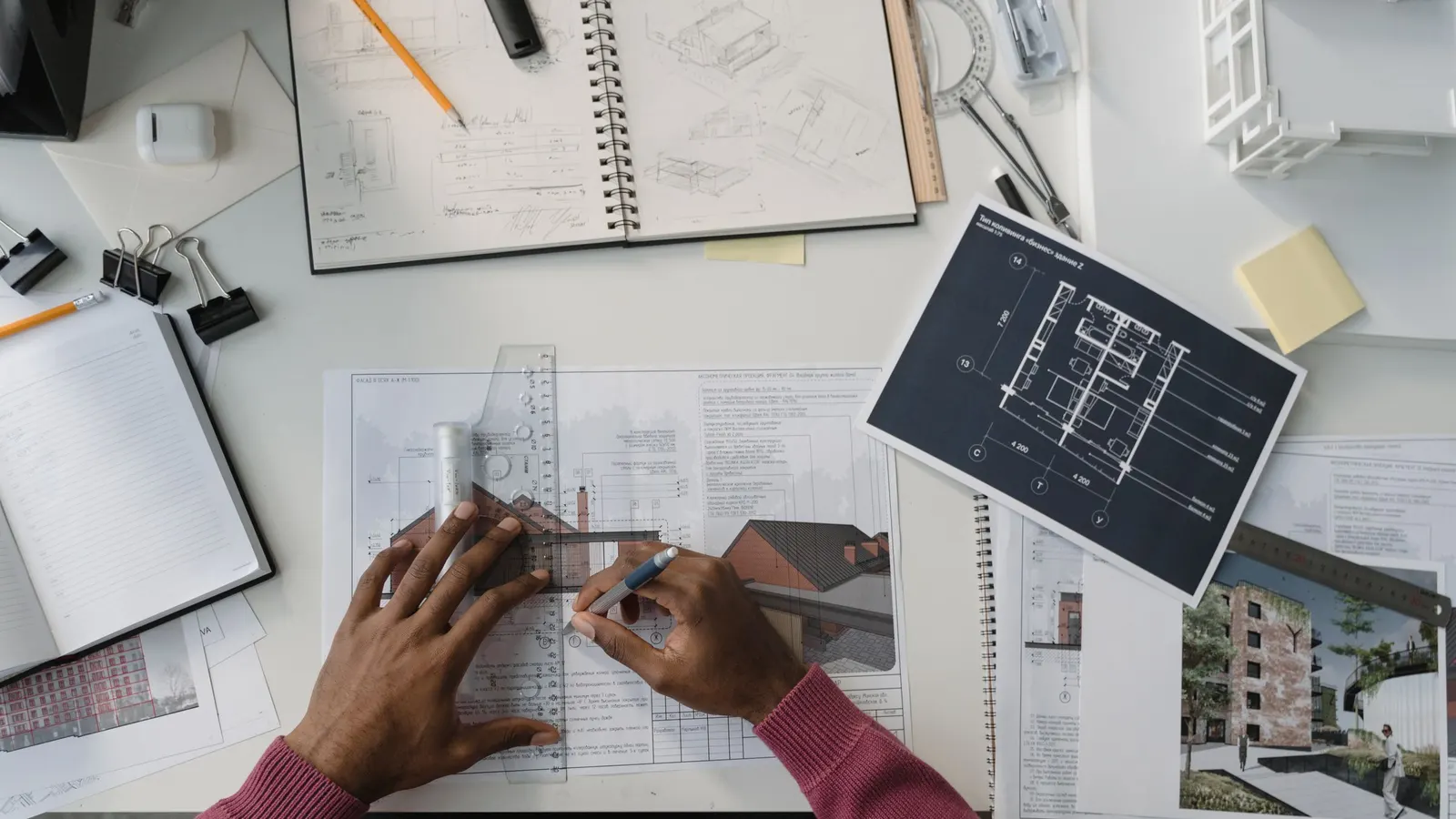
What does a set look like for a rear extension?
An illustrative example, not a real job: a two-storey Victorian terrace with a single-storey rear extension across the full width.
- Existing ground floor plan, 1:100. The back reception room, kitchen in the rear wing, the side return and the rear wall, with wall thicknesses.
- Proposed ground floor plan, 1:100. The same plan, with the rear wall shown as removed and the new kitchen-diner drawn out to its full depth, dimensioned from the original rear wall.
- Existing and proposed first floor plans. Shown even though nothing changes upstairs, so the officer can see which windows face the garden.
- Existing and proposed rear elevations, 1:100. The new roof, its height at the boundary and the new doors.
- Existing and proposed side elevations. The view a neighbour has over the party wall.
- Existing and proposed roof plan. The flat or pitched roof of the extension and any rooflights.
- Location and block plans with the red line around the whole plot.
If the extension needs only a certificate of lawfulness instead of planning permission, the same pairs are drawn. The certificate is decided on evidence that must be "sufficiently precise and unambiguous" (MHCLG), so the dimensions on the proposed set carry even more weight.
Do I need existing plans if I already have old drawings?
Sometimes old drawings from a previous application are accurate and only need redrawing to a current standard. Often they show the house before a later loft or kitchen extension, so they are no longer "existing". An estate agent's plan is not to scale and is rarely accepted, as our post on using estate agent floor plans explains. We check old drawings against a survey before relying on them.
What does it cost to have both sets drawn?
Our complete planning drawing service is £645 drawings + £150 survey (£795 total). That includes one laser survey, existing and proposed drawings revised with you, the application pack and submission. The council's planning fee is separate and goes straight to the council.
If you need only one half, existing drawings cost £395 with the survey charged separately (details), and proposed drawings on their own cost £395 when you already have an accurate existing set.
Frequently asked questions
Are existing and proposed drawings the same as "before and after" drawings? Yes, in plain terms. The council calls them existing and proposed. Some people also call the existing set "as built" or "survey drawings".
Do I need existing and proposed elevations if only the inside changes? For certificate applications, Waltham Forest asks for elevations where the work alters the outside. Inside-only work often needs no planning permission at all. Check with our planning permission guide first.
Can the existing and proposed be on the same sheet? Many councils accept that for small schemes, as long as each drawing is labelled and at a stated scale. Separate sheets are clearer for larger schemes.
Do I need to show the neighbours' houses? The block plan and elevations should show enough of the neighbours to judge the effect on them. Where a neighbour's window is close to the boundary, we show it.